
Folsom Neighbors by Block Source
A Folsom neighbor lookup works best when each source answers one narrow question. The Sacramento County Assessor Parcel Viewer identifies adjacent parcels, APNs, map context, and jurisdiction. The secured roll supplies public owner and mailing fields after the parcel list is known. Folsom permits, library maps, qualified voter files, and voluntary community pages add different kinds of context. The table keeps geometry, ownership, household evidence, and public contacts separate.
| Source | What It Shows About a Block | Access |
|---|---|---|
| Assessor Parcel Viewer | Adjoining lots, APNs, parcel pattern, jurisdiction, map layers | Free map |
| Secured assessment roll | Assessed owner, mailing address, situs, values for identified APNs | Lobby computers or NextRequest |
| Folsom eTRAKiT | Property work, project status, permits, inspections, and dates | Public inquiry; city records request when absent |
| Sacramento Room maps and directories | Older numbering, street continuity, and past occupants | Onsite or library database |
| Qualified voter files | Registration geography and other authorized fields | Application and qualifying purpose |
| Neighborhood or civic pages | Public coordinators, events, agendas, and voluntary contacts | Public materials only; no household roster |
Ownership is not the same as occupancy. A mailing address may be elsewhere, a parcel may be held by a trust or business, and non-owner household members may never appear in a public property record. A voter result is protected and purpose-limited. A directory entry is a dated association with an address. The strongest neighbor research identifies the parcel first and describes people only at the level the source supports.
Note: Define a neighbor by parcel relationship or a stated radius, not by social assumption or a name-only match.
Map Folsom Neighbors Parcel by Parcel
The Assessor viewer is the practical GIS path for a Folsom block. Search the target address, zoom until parcel boundaries appear, and click the target before moving outward. The goal is an APN list, not a claim about who sleeps at each location. Record the map scale and date because a growing subdivision can change the visible block.
- Search the target address in the Assessor Parcel Viewer. If the address fails, normalize the street suffix, remove unit punctuation, try the APN, or use a nearby parcel and pan.
- Click the target parcel and save its APN, situs, jurisdiction, land-use context, and map reference.
- Pan and click parcels sharing a side or rear boundary, then add parcels directly across the street if that is part of the stated block definition.
- Use map, measure, identify, zoom, pan, basemap, and available layer controls when exposed. The viewer has no guaranteed radius export.
- Take the APN list to the Assessor’s public-roll channel and request only the corresponding public columns.
Parcel lines are assessment graphics, not substitutes for a survey or a legal description. For a whole named street, the Folsom street directory workflow is the better next step. The block method stays narrow so adjacent parcels do not become an unbounded name search.
Build a Folsom Neighbor APN List
The parcel viewer accepts three useful keys: an address, an APN, or a map click. Address forms vary by directional prefix, street suffix, and unit punctuation, so a failed exact search does not end the block lookup. Use a nearby parcel, pan along the road, and retain the APN for every parcel selected. The APN is the bridge to the secured roll, Recorder references, map layers, and a later deed search.
| Parcel viewer field | Type | How it helps |
|---|---|---|
| Address | Autocomplete or text | Find the situs; normalize suffixes and units |
| APN | Text | Direct parcel key; punctuation tolerance varies |
| Map click | Spatial | Browse when the address fails |
| Zoom, pan, basemap | Map controls | Expose adjoining lots and street context |
| Layer and legend | Map menu | Read jurisdiction and available reference layers |
| Identify | Click tool | Open facts for a selected parcel |
Once the APNs are recorded, use the Assessor public-records instructions for the secured owner, situs, mailing address, assessed and exemption values, tax-rate area, zoning or land-use codes, Recorder book/page, parcel maps, and limited characteristics. The office states that owner information is public in the secured roll but excluded from the public web display because of privacy concerns.
Folsom Assessor Fields for Neighbor Research
Public web results establish property context, not a resident roster. The offline secured roll is more detailed, but its fields still need careful reading. A situs address identifies where the parcel is. A mailing address identifies where the tax notice goes and may point to an absentee owner, PO box, trust, estate, or management address. Neither field proves current occupancy. An exemption may support an owner-occupancy clue, but it is not conclusive.
Self-service computers at 3636 American River Drive, Suite 200, Sacramento are open Monday through Friday from 8 a.m. to 5 p.m. Electronic public Assessor records may be requested free through the County electronic request channel. A focused request should list the APNs and columns, rather than ask for an undefined list of everyone near an address.
- APN, situs, jurisdiction, land-use code, and parcel map reference.
- Secured owner name and owner mailing address from the public roll channel.
- Assessed land, improvement, total, and exemption values.
- Tax-rate area, Recorder book/page reference, and limited building characteristics.
Values update in early July and mid-September, and later corrections may not appear after September 15. Preserve the roll context and retrieval date. If a result names an entity or trust, follow the deed, probate, or official business filing rather than converting a record holder into a household conclusion.
Why Folsom Voter Data Stops at Privacy
California My Voter Status is an authenticated self-lookup, not an open Folsom street directory. It asks first name, last name, date of birth, and a current identifying field such as driver-license or ID information or Social Security digits as prompted. A matched result can show personal registration status, party preference, districts, polling information, vote-by-mail status, and participation-related information. A no-match means the inputs did not match; it does not prove nonresidence.
Election Code section 2194 limits voter information to election, scholarly, journalistic, political, or governmental purposes. Government Code section 7924.000 protects home street address, phone, email, registration identifiers, prior registration, ID or Social Security information, and signature except where a statute permits access. A qualified request through the state voter-file application must state purpose, geography, fields, recipient, and security controls. Specific statewide record requests are listed as $30 each, with a $100 maximum for specific records.
- Self-lookup
- For the voter whose identity inputs match, not for browsing a block.
- Qualified file
- Purpose-restricted data released only through the state or county application route.
- Historical material
- Ask Sacramento County Elections, the Center for Sacramento History, or State Archives for series and dates; privacy rules can differ.
- Safe at Home
- Protected participants use a substitute address and confidential voter registration process.
For county procedure, use the Sacramento County Elections contact channel. There is no lawful ordinary-person block browse through voter data, and ballot choices are never shown by a voter-file result.
Folsom Neighborhood Anchors and Contacts
Folsom’s named neighborhoods are useful geography anchors, not proof of a membership list. Historic District and Old Folsom, Broadstone, Briggs Ranch, Empire Ranch, American River Canyon, Prairie Oaks, Natoma Station, and Folsom Ranch or its Plan Area developed in different eras. City parks, planning areas, school boundaries, trails, and maps can orient a block when an informal neighborhood label overlaps another one.
Historic District and Old Folsom
Use city planning and GIS maps for public geography. A historic label does not create a resident directory.
Broadstone and Briggs Ranch
Check current public board, management, meeting, or event contacts if a voluntary group publishes them. No active roster is assumed.
Empire Ranch, American River Canyon, and Prairie Oaks
Use public neighborhood or planning material for orientation. Verify any current association name and contact route individually.
Natoma Station and Folsom Ranch
City maps and the neighborhood parks resource provide public anchors. Private member directories are not reproduced.
Community contact work should stay with public coordinator details, open meeting notices, newsletters, and voluntary event pages. The research did not locate a city umbrella page publishing household member directories, and current association names and directory policies require individual verification before they are described as active.
Official Records Versus Neighbor Tools
Official records and commercial neighbor compilations answer different questions. The safest comparison is by identifier and source role, not by how many names a result displays.
Official block trail
Assessor APNs, secured-roll fields, Recorder documents, Folsom permits, library maps, and authorized election files carry a named custodian, date, and access rule. Match the APN, case, document, or filing identifier before drawing a conclusion.
Commercial compilation category
Commercial services may combine public and purchased data, lag behind source changes, or merge namesakes. A compiled neighbor result is not official proof of an owner, occupant, relationship, or current location.
For a block question, the official path is slower but clearer: map the parcel, request the matching public roll fields, inspect the relevant permit or deed, and label every inference. A missing name can mean a non-owner household member, entity ownership, a protected address, or simply a source gap.
Folsom Neighbors Across Postal Boundaries
Folsom sits east of Sacramento along the American River and Lake Natoma. US 50 separates the established city from newer Folsom Ranch development, and local anchors appear in different generations of maps, directories, and permits. A parcel’s jurisdiction and planning area therefore matter when a block lies near a city edge or a newer development.
Postal and government geography do not line up perfectly. ZIP 95630 covers the principal Folsom delivery area, 95671 is used for Folsom PO Box service, and 95763 reflects newer south-of-US-50 growth. Use the USPS lookup to verify one delivery address, then use the Assessor jurisdiction field and Folsom GIS maps for government geography. Do not infer taxes, schools, voting districts, or emergency service from a ZIP alone.
- Parcel adjacency
- A stated side, rear, across-street, or radius relationship on a dated map.
- Jurisdiction
- The government boundary or land-use context shown by the County or City source.
- Postal city
- The delivery label assigned by USPS, which can differ from incorporated-city limits.
Save the map date and the address version used. That simple record makes a later neighbor result reproducible when a block is built out or postal routing changes.
Scams Using Folsom Public Records
Parcel and name clues can be misused in payment demands, false title notices, identity theft, and impersonation. Federal case research is a separate channel, not a block roster. The federal PACER service searches party and case information by court, name, case number, filing dates, and type; an account is required and charges follow the published schedule.
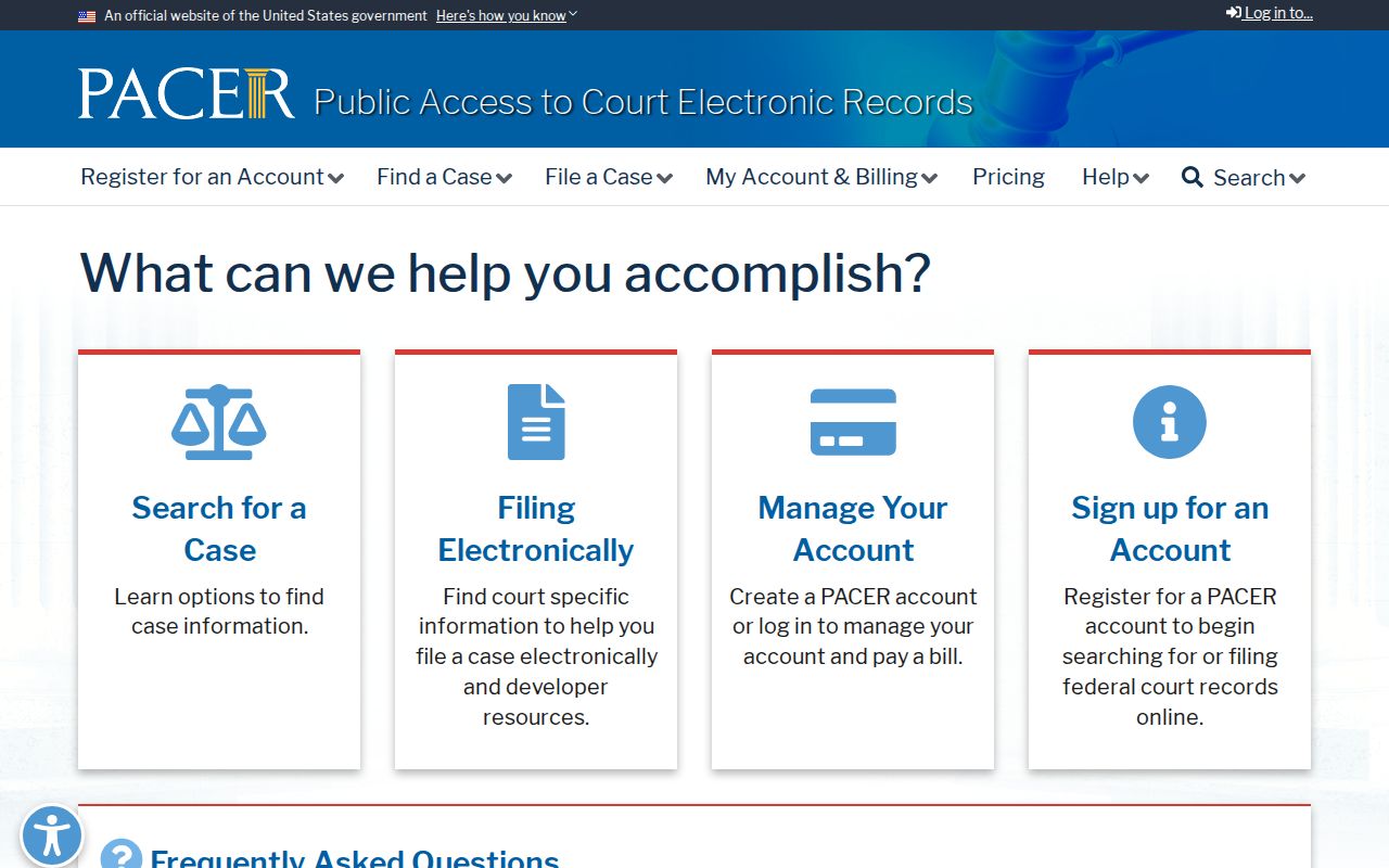
PACER can help verify a federal caption or case number, but namesakes and court roles require close checking. A PACER hit does not prove that a person lives near a Folsom parcel.
For a business solicitation or payment demand, use the California consumer complaint channel rather than the phone number printed in the message.
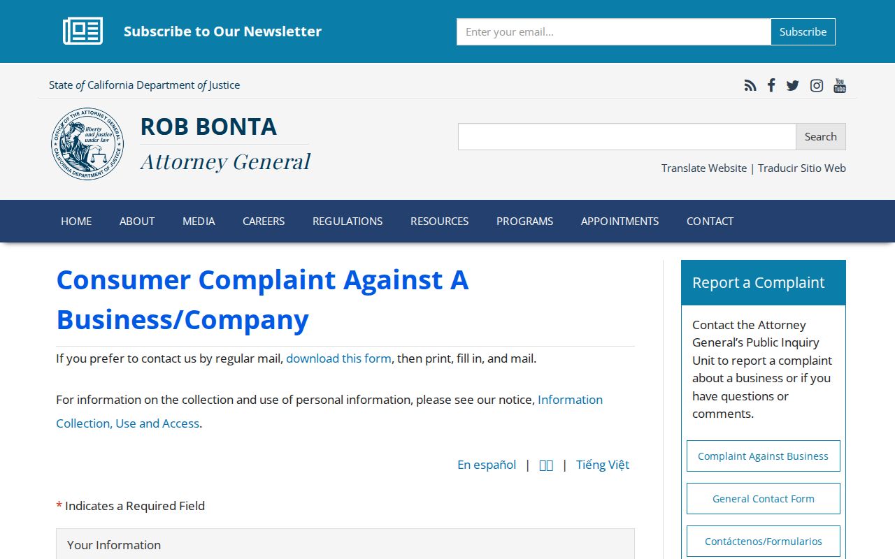
The state complaint route gives a public starting point for reporting a business concern and preserves a cleaner trail than replying to an unknown sender.
Internet-enabled fraud belongs with the Internet Crime Complaint Center, which is separate from local parcel or court research.
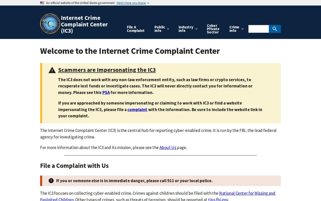
Keep the message, payment request, account details, and official record reference together when filing an online-crime report. Do not send needless identity documents to a solicitor.
If personal information has been used, the federal IdentityTheft.gov response service provides an official recovery starting point.
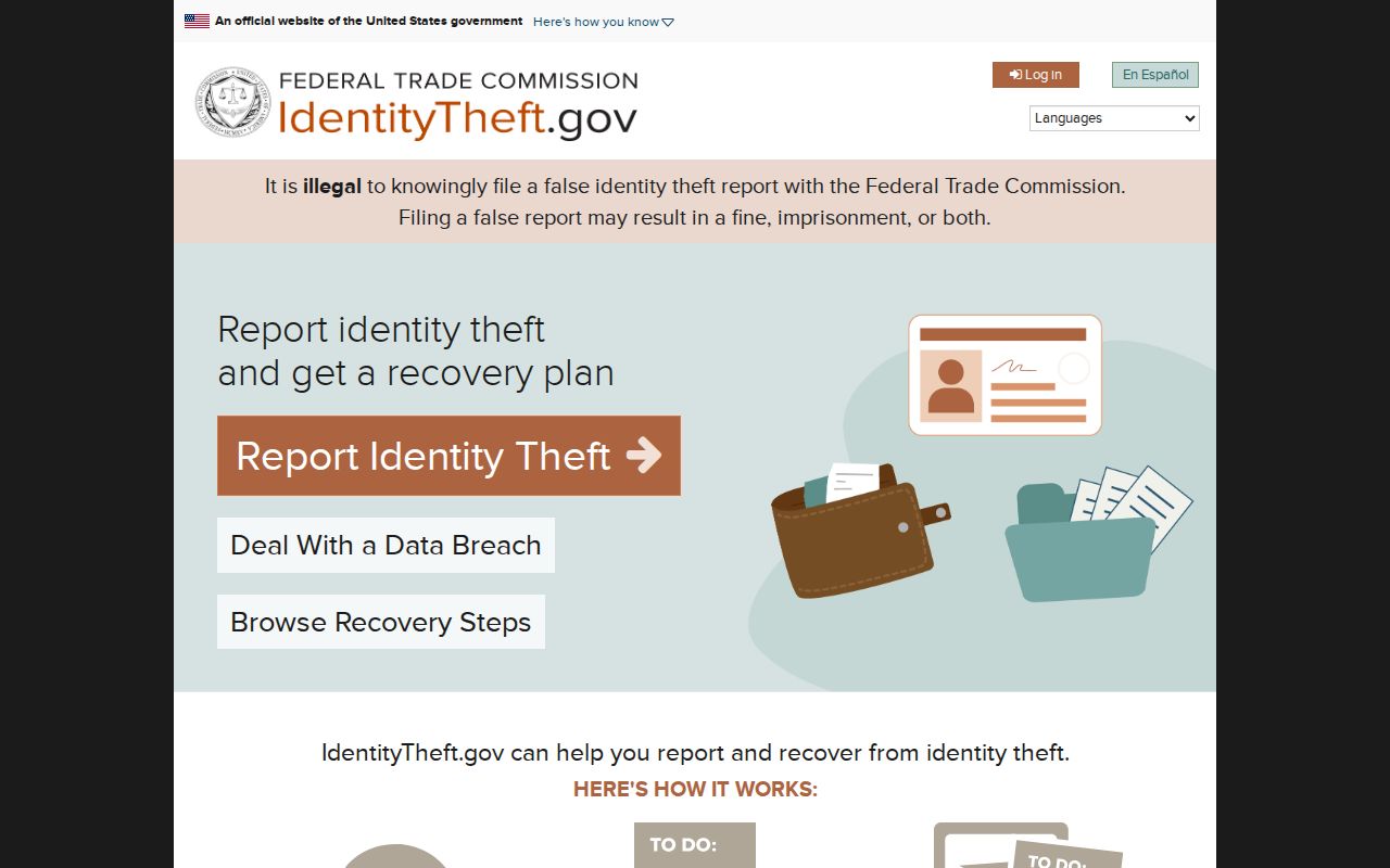
Identity theft response is about recovery and documentation. It is not a way to discover a neighbor’s private account or address.
The FTC fraud reporting service is another official route for deceptive solicitations and fraud reports.
Before responding to a records-related demand, independently open the custodian’s page, compare the APN or document number, and confirm the current fee. Government offices do not demand gift cards or cryptocurrency.
- Call 911 for an immediate threat.
- Use Folsom’s non-emergency number, 916-355-7231, for local procedure questions.
- Send a California consumer complaint for a business solicitation or payment issue.
- Use the FTC or IdentityTheft.gov for fraud or identity-theft recovery.
- Use IC3 for an internet-enabled crime and preserve the digital evidence.
Privacy Limits for Folsom Neighbors
California’s Safe at Home Address Confidentiality Program gives qualifying survivors and specified reproductive-health workers a substitute mailing address and confidential voter registration. Those program records are not public absent authorized government, law-enforcement, or court access. DMV residence information is restricted by the federal Driver’s Privacy Protection Act and California vehicle law. Utility and delivery customer data are not public block sources.
Children, non-owner household members, and people whose address is protected may be absent from every official result. A trust, estate, business, or tax-mailing address can also change what a parcel record appears to say. The absence of a name is not evidence that the person is absent from the block.
Lawful use. Folsom neighbor research is for civic orientation, reconnecting, personal safety awareness, and ordinary community use. Do not use public clues to stalk, threaten, harass, or intimidate anyone; California Penal Code section 646.9 and restraining-order procedures apply to misuse.
Keep requests narrow, minimize personal data, and use the custodian’s correction or confidentiality route when a record is wrong or protected. A map can identify a parcel. It cannot grant permission to follow a person.