
Turn a Folsom Street Address into an APN
A street-by-street search works best when the address is treated as a chain of keys rather than a claim about who lives there. Start with the situs form used by the county map. The first useful result is an Assessor parcel number, or APN. That number can then point to secured roll fields, a Recorder reference, a permit search, and older maps or directories.
The full Folsom street directory walkthrough keeps owners, occupants, voters, and historical entries in separate lanes. A voter self-lookup cannot browse everyone on a street. A deed names parties to a legal interest. A directory places a person at a house number during a publication period. Keep the source, date, indexed role, and address form beside every conclusion.
- Normalize the street name, suffix, direction, and unit, then enter the situs address in the Sacramento County Parcel Viewer.
- Save the APN, jurisdiction, land-use context, parcel map reference, and any Recorder book/page clue shown with the parcel.
- Request the matching secured owner and mailing fields from the Assessor counter or a focused county records request.
- Search the owner as a grantee in the Recorder index, capture the acquisition deed, then follow its grantor backward through earlier deeds.
- Use Folsom eTRAKiT for address-keyed permits, the voter route only where legally available, and Sacramento Room criss-cross directories for past occupants.
That sequence changes a loose address query into an evidence trail. It also makes it clear when the search has moved from current parcel facts into historical or restricted records.
Folsom Assessor Fields by Address
The Sacramento County Assessor Parcel Viewer accepts an address, APN, or map location. If an exact address fails, remove unit punctuation, spell out the street suffix, try the APN, or click a nearby parcel and pan. The viewer returns parcel geometry, jurisdiction, land-use context, assessed value, limited building characteristics, map links, and Recorder references. It does not display owner names online.
The Assessor’s parcel-viewer guidance describes the map as an assessment research tool. Its layers and controls help build an APN list along a Folsom street, but parcel lines are assessment graphics and should not replace a survey or the legal description in a recorded instrument.
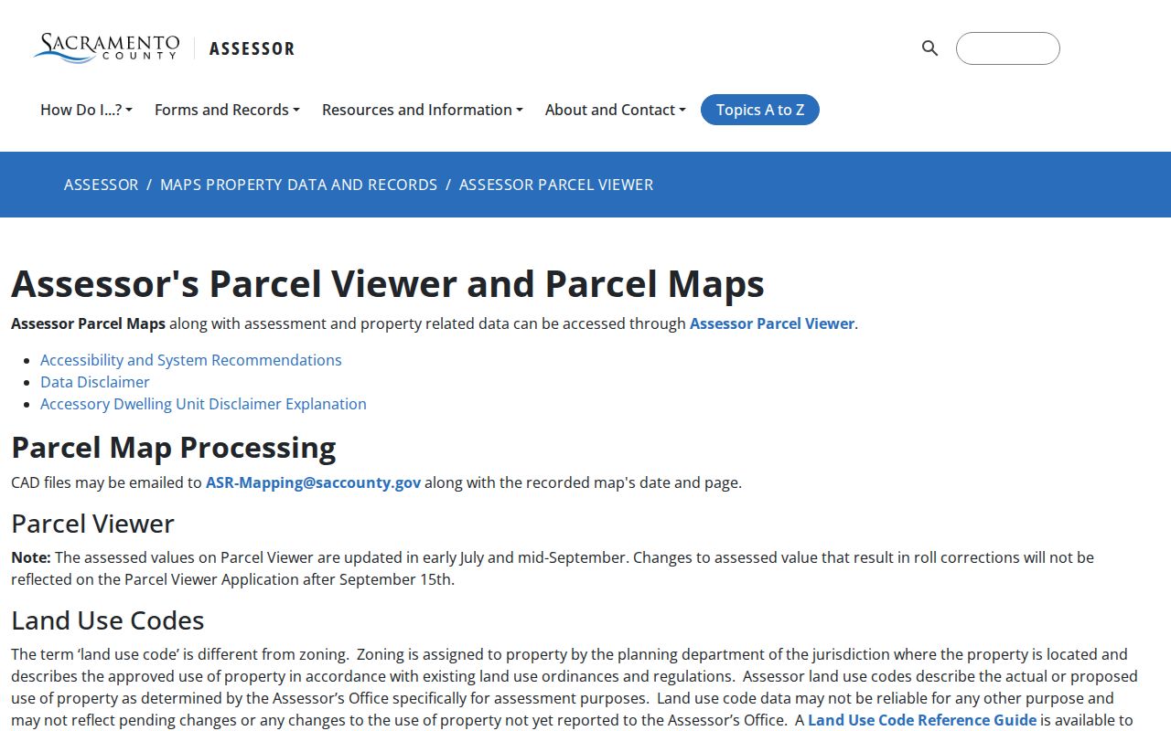
The parcel-viewer image shows the location side of a Folsom street directory search. Save the APN before moving to owner, deed, permit, or voter evidence.
| Field or control | Type | Required | Format or use |
|---|---|---|---|
| Address | Autocomplete or text | Conditional | Normalize suffixes; unit handling can vary. |
| APN | Text | Conditional | Use the county parcel number; punctuation tolerance varies. |
| Map click | Spatial selection | Conditional | Find a parcel when the address string fails. |
| Zoom, pan, basemap | Map controls | No | Browse along a street and expose adjoining parcels. |
| Layer and legend | Map menu | No | Review parcels, jurisdiction, and available reference layers. |
| Identify | Click tool | No | Open selected parcel facts and links. |
Note: An APN identifies an assessment unit, not a complete household or a guaranteed legal boundary.
Get Folsom Owner Fields After the Map
Sacramento County’s online viewer omits owner names because of privacy concerns, while the secured public roll includes secured owner, property address, and mailing address. The public counter is at 3636 American River Drive, Suite 200, Sacramento, with self-service computers described as available Monday through Friday from 8 a.m. to 5 p.m. Electronic Assessor records can also be requested through the county’s NextRequest channel.
The Assessor public-record access rules identify the fields that make an address chain useful: APN, situs, secured owner, mailing address, assessed land and improvement values, exemption value, tax-rate area, zoning and land-use codes, Recorder book/page, parcel maps, and limited building characteristics. Ask for a defined APN set and named columns rather than an unbounded person search.
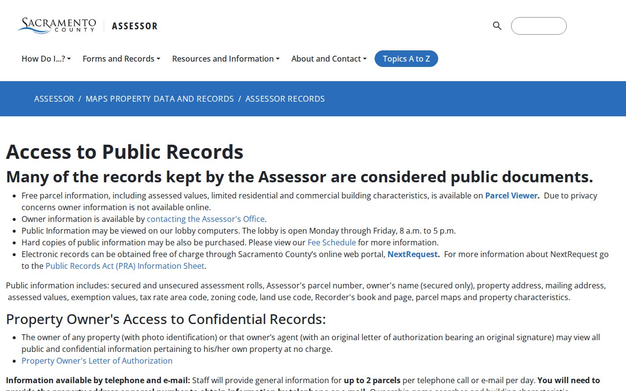
The public-records image shows the second step in the Folsom street directory chain. The map supplies the parcel key; the counter or request channel supplies the secured roll fields that are not on the web map.
Situs and mailing addresses must remain separate in notes. The situs locates the parcel. The mailing address identifies where the tax notice goes and can point to another residence, a post office box, a trust, an estate, or an agent. An assessed owner is not automatically an occupant.
Build a Folsom Street Parcel by Parcel
Use the map at a scale where parcel boundaries appear, click the target, record its APN, and pan in both directions. Include parcels sharing a side or rear boundary and parcels directly across the street when the research question is a block. Record the map date and scale because development can change the visible pattern. The viewer has no guaranteed radius export, so an APN list is more defensible than an informal circle.
Folsom’s geography has several useful anchors: the Historic District and Old Folsom, Broadstone, Briggs Ranch, Empire Ranch, American River Canyon, Prairie Oaks, Natoma Station, and Folsom Ranch or its plan area. Planning maps, parks, school boundaries, and subdivision names help identify an area, but they do not create a household roster. The city planning and GIS materials can distinguish city limits, planning areas, and neighborhood context.
The City of Folsom maps and GIS resources belong beside the county parcel map when a street crosses a planning or jurisdiction boundary. Use the county jurisdiction field for government geography and preserve the USPS label separately.
Folsom Records Searchable by Street
Address-keyed records can show property context, title parties, permitted work, historical occupants, or released household snapshots. They do not all search by the same key. The APN ties assessment and map facts together. The Recorder relies on parties and legal descriptions. eTRAKiT uses site address and project fields. Historical directories use house number and street conventions that may need an abbreviation key.
| Record set | Keeper | Street evidence | Limitation |
|---|---|---|---|
| Parcel map and roll | County Assessor | Parcels, situs, values, and owner or mailing fields offline | Owner is hidden online; owner is not occupant. |
| Recorder instruments | County Clerk/Recorder | Chain of title, liens, releases, maps, and legal descriptions | Party and legal-description index, not a reliable address browse. |
| Permit and project files | City of Folsom | Work, applicant or contractor, dates, status, inspections | Portal coverage and redactions vary. |
| Directories | Sacramento Room | Occupant at a house number and year | Exact local runs need staff confirmation. |
| Census | NARA and library databases | Household or block in released schedules | Released through 1950; only the census date is covered. |
| Voter file | County Elections and Secretary of State | Authorized registration geography | Declared purpose required; no ordinary public street browse. |
A practical Folsom street directory record line should include the source, date, indexed person, role, address form, APN or legal description, and confidence. The same name in a deed, permit, and directory can still represent different people or roles.
Trace a Folsom Deed Chain Along a Street
The Recorder’s Online Index is a party and document index. Start with the current secured owner from the Assessor, search that person as grantee, and find the acquisition deed. Record the grantor, recording date, document number, document type, book/page if shown, and legal-description clues. Then search the grantor as an earlier grantee. Deed of trust, reconveyance, lien, release, and map entries add context but are not all transfers.
Addresses are unreliable Recorder keys because instruments are indexed by parties and legal descriptions. Use the APN, subdivision, lot and block, book/page, or document number to confirm that a result belongs to the parcel. The index is not a certified instrument. When the online series stops, use the Sacramento counter, index terminals, older books, microfilm, maps, or the copy desk. A written request should name an existing document or index record, not ask the office to perform a chain analysis.
The Sacramento County recorded-document index is the starting point for a Folsom street directory title trail. It can lead to a copy or image where offered, but copy, certification, image, and recording rules vary by record and date.
- Grantor
- The party shown as transferring or releasing an interest.
- Grantee
- The party shown as receiving an interest or release.
- Legal description
- The lot, block, subdivision, metes, bounds, or other property description that controls over a casual street string.
- Plat
- A recorded map that can show subdivision or lot relationships and help bridge older address forms.
Add Folsom Permit History by Address
Folsom Building Services uses eTRAKiT for permit applications and public inquiry. A property or address search can expose permit, project, inspection, and planning modules. Useful result fields include permit or project number, type, description, applicant or contractor, issue and status dates, inspections, and site address. Public inquiry is distinct from an application account.
The Folsom eTRAKiT permit and property search is an address layer, not a title source. Permit records may document proposed or authorized work, but an applicant or contractor is not necessarily the owner. Plans can contain protected security or copyright material, and Code Enforcement, Planning, and Building records may need a records request when an online result is absent.
For a street directory timeline, save the permit number, site address, work description, issue or status date, inspection entries, and any stated record limit. Compare that line with the APN and deed chain. Permit coverage is not stated as universal, so a missing online result should be followed by the City Clerk, Building, Planning, or Code Enforcement request channel.
Read an Older Folsom Street in Reverse
Historical reverse or criss-cross directories are the street-facing part of the Folsom city directory shelf. They can arrange a street, house number, occupant, and sometimes telephone or cross-street information. Begin with the address and search the street guide, then flip to the alphabetical section to test names, occupations or trades, spouses, business locations, and address changes. Front matter defines abbreviations and the compiler’s coverage date.
Maps in the Sacramento Room cover the 1880s through the early 2000s and can help bridge subdivisions, street names, and old house numbers. No official citywide Folsom renumbering year was verified. Sanborn sheets and map indexes may reveal an address change, but each conversion needs a dated citation. A directory entry is an occupant clue, not a recorded transfer.
The Folsom city directory collections page carries the collection and entry-reading method. Use the historical shelf when the current street chain needs an older occupant, and keep the modern APN and legal description in a separate column.
Check Folsom Jurisdiction, ZIP, and USPS
A postal city is not the same key as a municipal jurisdiction. USPS assigns delivery ZIP and preferred city. The city and county assign situs and land-use jurisdiction. The Assessor assigns the APN. The Recorder uses a legal description. Sacramento County warns that a USPS city designation may differ from the incorporated jurisdiction, so “Folsom” on a mailing label cannot settle the government boundary question.
The USPS ZIP Code lookup verifies one address and its delivery information at a time. Run the normalized address through USPS, then compare the county Parcel Viewer jurisdiction and the City planning map. Preserve both outputs. ZIP 95630 is the principal Folsom delivery ZIP, 95671 serves PO boxes, and 95763 covers newer south-of-US-50 growth, but postal routes are not exact city polygons.
That quirk matters in a street directory because a postal label can extend beyond the incorporated boundary, while a municipal parcel can use a route label that does not look like a city limit. Validate each published address through current USPS and government GIS data. Do not use commercial ZIP polygons as a substitute for the official one-address checks.
What a Folsom Street Directory Cannot Show
No public source supplies a complete list of everyone at every Folsom address. People who are not owners, other household members, and children are not systematically named in the parcel roll. Utility customer records and DMV residence data are not directory sources. A mailing address, tax exemption, business filing, permit, voter registration, or deed party can be a clue, but none alone proves continuous occupancy.
California voter information is purpose-limited under Elections Code section 2194, and protected address, phone, email, identifier, and signature fields remain confidential under Government Code section 7924.000. Safe at Home participants and other confidential classes are withheld. A street search should never try to infer a protected address from a public substitute address.
Lawful use. Folsom street and address records support personal, lawful research. Do not use a map, owner field, deed, roster, or directory entry to stalk, harass, threaten, or harm anyone.
When the goal changes from a whole street to one person, preserve two independent anchors and use the correct custodian. A same-name hit is a lead for review, not a reason to publish a home address or contact a household.